Hiking at Oconee Station Cove Falls Trail, Walhalla, SC
[box border=”full”] Location: Oconee Station Cove Falls Trail,Walhalla, SC
Date: August 10, 2014
Distance: 2 miles roundtrip
Elevation Gain: 181 feet
Our Hiking Time: 1 hour 44 minutes
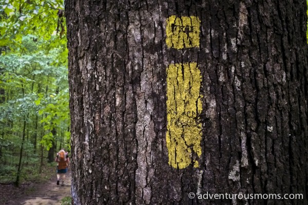
Trail Blaze: Yellow Square above Rectangle
Difficulty: Easy
Trail Map
[/box]
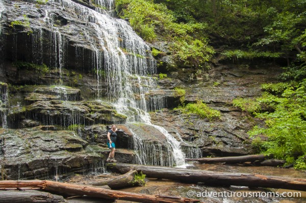
Even with gray, drizzly skies, and a forecast of possible thunderstorms, we decided to explore the Oconee Station Cove Falls Trail at South Carolina’s Oconee Station State Historic Site, a former military compound turned trading post less than 30 miles from the Georgia border. The trail begins about a half-mile from the historic site and ends at the 60 foot high Oconee Station Cove Falls in Sumter National Forest.
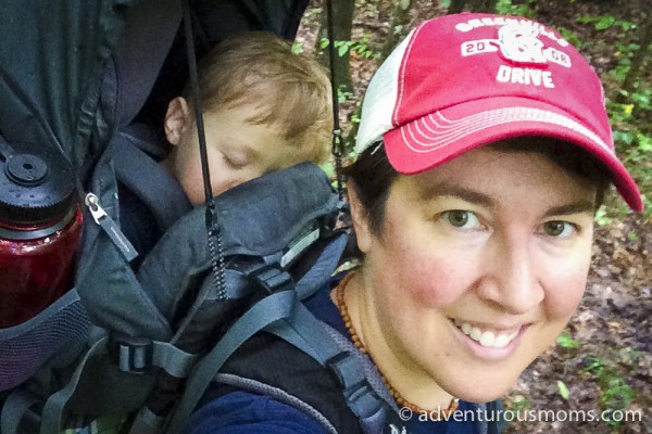
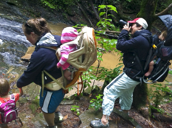
We hiked with Grandmama (Jane), her friends Karen and Claire, and Claire’s daughter Stephanie. I carried Evan in our Deuter Kid Carrier, while Kendra carried Kate in Jane’s Kelty carrier.
It was an easy hike, though the trail was a bit muddy from the rain. Addie loved splashing in the puddles, her legs streaked in the red clay southerners try to pass off as dirt. As we meandered along the trail surrounded by towering trees and lush vegetation, Addie called out when she’d found a trail marker. She especially liked that the blazes looked like an “i,” and she decided we should look for more things that look like the letters of her name, and take pictures of them, put the pictures together, and spell out her name in a frame.
We love trails with interesting features, and the Oconee Station Cove Falls Trail didn’t disappoint. There were two wooden bridges spanning Station creek, and one water-crossing over slippery rocks.

 When we arrived at the falls, we spent about twenty minutes exploring the moss and ferns, and admiring the water from atop Station Mountain cascading over the jagged rocks. Addie and Stephanie splashed in the pools of water, while Kendra explored the waterfall up close!
This was a great hike for little ones – easy on the legs, not too long, with a great payoff. Addie proudly hiked the entire route by herself. (Not that she has a choice these days… those darn twins are getting heavy to carry!)
Know Before You Go
There are no bathrooms at the trailhead, however there are restrooms available at the Oconee Station State Historic Site just 1/2 mile before the parking area.
Directions to the Trailhead
From I-85N: Take exit 1 at the GA/SC state line onto Highway 11. Drive for 26 miles, turn left onto Oconee Station Road. Drive for 2.4 miles and look for trailhead on the left.
From I-85S: Take exit 19B onto Highway 28 toward Clemson. Drive 26 miles. Take the SC ramp toward Tamassee/Salem. Merge onto SC 11 and drive 6 miles. Turn left onto Oconee Station Road. Drive for 2.4 miles and look for trailhead on the left.









1 Response
[…] Carolina was awesome – we went fishing, biking, hiking, and swimming. We took Addie to a ball game at Fluor Field to see the Greenville Drive, a Red Sox […]