Hiking Woodchuck Hill, North Andover, MA
[box style=”rounded” border=”full”] Location: Woodchuck Hill, North Andover, MA
Date: October 20, 2013
Distance: 2.91 miles roundtrip
Elevation Gain: 154 feet
Our Hiking Time: 1 hour, 28 minutes round trip
Trail Blaze: Red (Woodchuck Trail), Orange (Loop Connector), & Green (Eagle Scout Trail)
Difficulty: Easy
Trail Map[/box]
Let me dispel any preconceived notions – the Woodchuck Hill hike has neither woodchucks, nor is it a hill. The actual hill is located in the center of a sub-division. Instead of climbing it, we walked near the hill, through a small portion (approx. 165 acres) of Harold Parker State Forest that is unattached to the main body of the forest. It is a lovely, easy hike that is well-marked, yet lightly tread. Not a single other person was on the trail while we hiked.
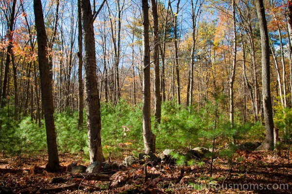
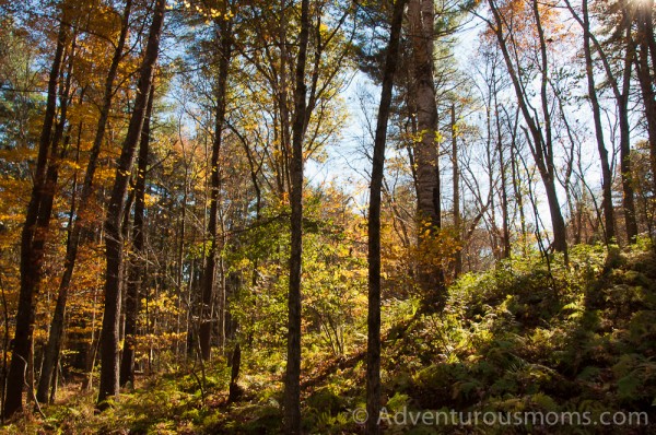
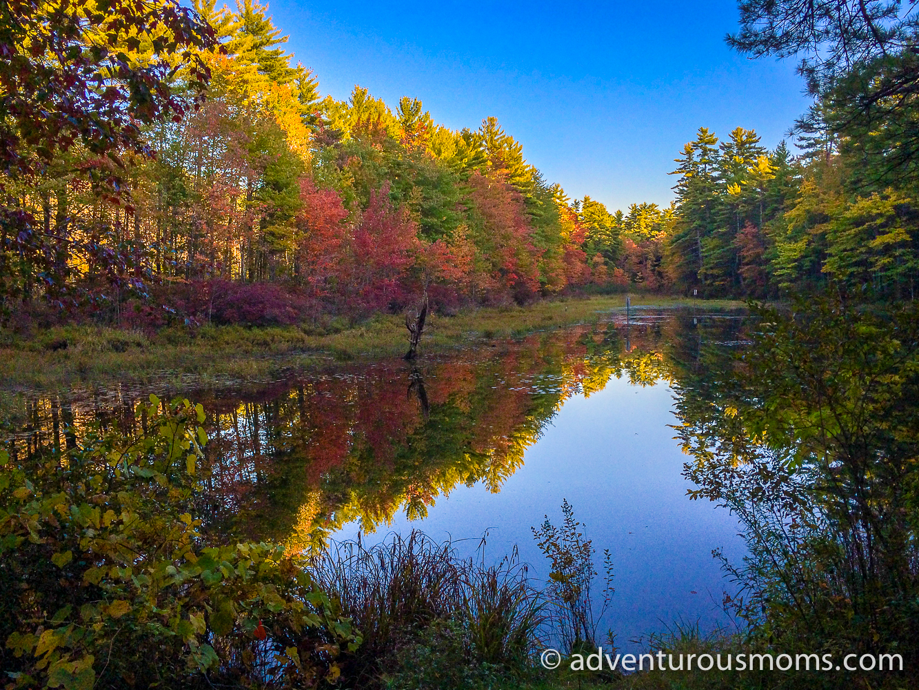
On this particular hike, Kendra and I each carried one of the twins in an Ergo, while Addie led the way. Our friend Michelle and her dog, Lilly, joined us as well. We followed the Woodchuck Trail from the parking area (and by parking area, I mean cul-de-sac at the end of a street of mansions) to the opposite end of the hill. Young pine trees sprouted underneath the colorful fall foliage of towering maple trees.
When we reached the power lines at the end of the trail, we realized we’d missed the turn onto the Loop Connector trail. We backtracked and found it clearly marked – but only from one direction. We took a left onto the narrow, winding trail covered in pine needles, golden under the streaming sunlight. I love walking over pine needles – it reminds me of walking over freshly fallen snow – your footsteps are simultaneously cushioned and silenced. It was very peaceful.
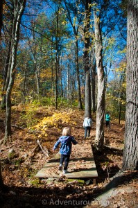 After a short hike along the Loop Connector, we turned onto the Eagle Scout Trail, which was even more narrow and winding. Unlike the Woodchuck Trail, which runs through the middle of the forest, the Eagle Scout Trail follows the perimeter, crossing over a small stream, and eventually looping back to the parking area. (There is also a small extension of the Woodchuck Trail that connects to the Eagle Scout Trail, but we somehow missed the intersection.)
This is a great hike for little legs – Addie had fun bouncing along the trails. She also enjoyed several bathroom breaks. It seems my mission to make her comfortable with peeing and pooping in the woods worked – perhaps a little too well. I think my next goal is to teach her that just because you can poop in the woods, doesn’t mean you have to.
Directions to the trailhead:
GPS Coordinates: 42.663925, -71.082901
There are many ways to get to the trailhead, depending on the direction from which you are driving. It’s easiest to use GPS coordinates. The parking area is a cul-de-sac at the end of Molly Towne Road in North Andover, MA.





“…just because you can poop in the woods, doesn’t mean you have to”—Love it! What a beautiful day!
Best quote ever and gorgeous photos.
How were the ticks? I walked it last week and found 3 or more trying to walk up my pant leg. Luckily I had my permethin treated clothing on. They crawl up the first 10″ and then curl up and fall off. Works wonders!