Hiking at Wilkinson Reservation, Andover, MA
[box style=”rounded” border=”full”] Location: Wilkinson Reservation, Andover, MA
Date: September 27, 2013
Distance: 1.9 miles roundtrip
Elevation Gain: 174 feet
Our Hiking Time: 1 hour, 17 minutes round trip
Trail Blaze: White Rectangles
Difficulty: Easy
Trail Map[/box]
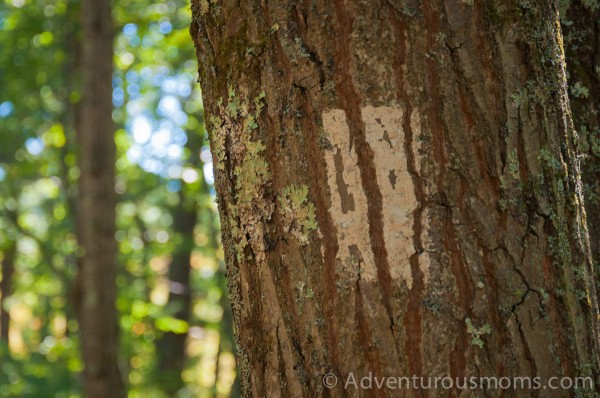
If you’re looking for a well-marked, easy to follow trail – this is not it. Even the trailhead is a bit confusing – it looks more like a runoff ditch (though there is a faded white rectangle trail marker a bit down the trail to let you know you’re headed in the right direction).
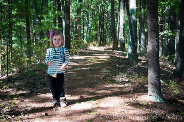
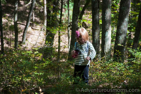
Addie, Evan and I set off down the trail, which she found a bit tricky because of the uneven terrain. (Evan was strapped to my chest in his Ergo carrier.) Fortunately, after a moderately steep descent, the trail evens out fairly quickly and winds around a vernal pool. I was surprised to see it filled quite a bit of water even this late in the year. We crept to the edge to search for frogs, but our efforts were not rewarded.
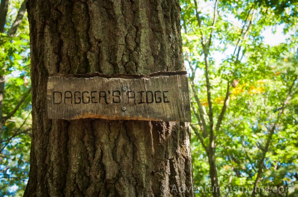
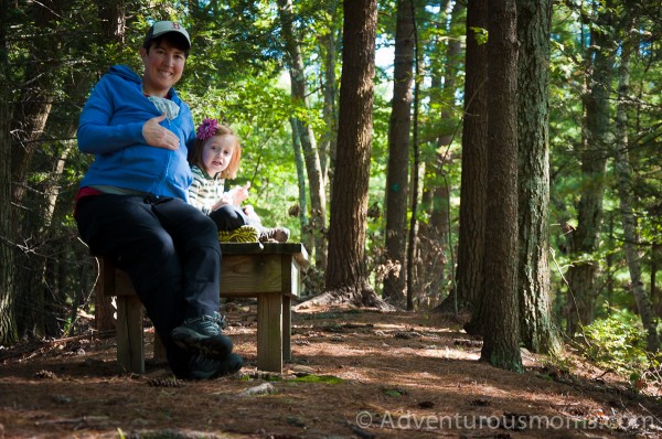
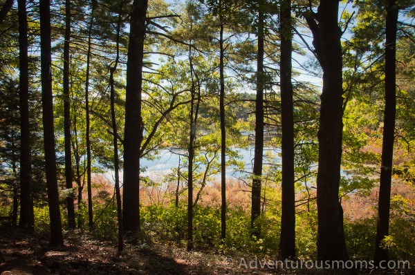
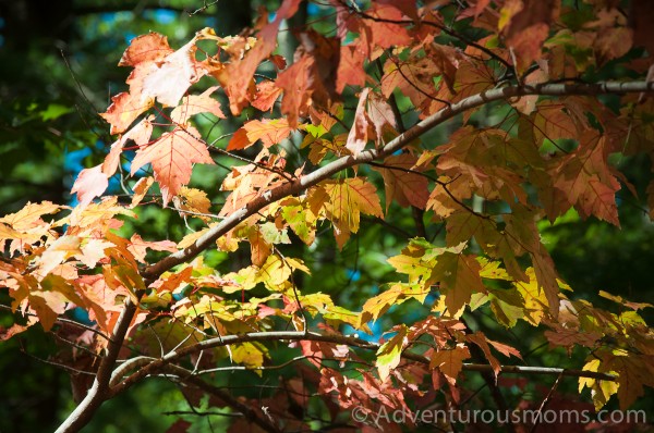
Back on the trail, we made our way back uphill and took a right onto Dagger’s Ridge. This part of the hike was awesome – we could see Foster’s Pond in a distance, and the beginnings of fall foliage. At the end of the ridge, we came upon two wooden benches. We hopped on the larger of the two and took in the view before us while munching on Annie’s Bunny Grahams.
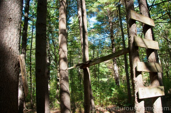
We returned the way we came, and at the end of the ridge we turned right. We followed the trail down once again, following a trail marker. Unfortunately, we missed the next marker. The trail split to the left, but there was no marker at the junction, so we kept walking forward. We did come upon the ruins of an old treehouse that looked like it must have been pretty cool at one point.
Not long after we passed the treehouse, we came to the boundary of the reservation. Realizing we were off track, I took out my iPhone to see where we were on the topographic map. I have a great app – GPS Kit, which I use to track our hikes, and has come in handy when traditional maps have led us astray. Comparing the topo map to the trail map, I realized we’d missed a turn. It took two passes to find it, but eventually I spotted a trail marker in the distance.
It was not easy following the trail out – many places were overgrown, and the trail markers were sparse. I had to keep comparing the topo and trail maps to make sure we were headed in the right direction. Just when I thought we had somehow wandered off the trail, we popped out onto the trailhead at exactly where the trail map indicated a fork.
Needless to say, our trek was a bit more adventurous than usual. Had we not been in such a small reservation (Wilkinson is just 23 acres), I would have been nervous and frustrated, but knowing we were never really very far from our car, and having great cell phone reception, I felt comfortable relying on my navigational skills to get us back to our car. It was a fun challenge.
You can download a copy of the trail map here. However, even better, buy a copy of the Andover Trails Guide. It has great information and maps for local trails, reservations, and conservation lands in and around Andover, MA.
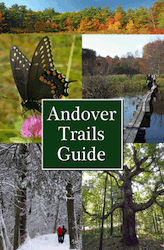 Available in local stores (I bought mine at ACE Hardware), copies of the guidebook can also be purchased by mail. Send a check for $14.95 plus $0.50 shipping & handling to:
Andover Trails Committee
c/o David Bunting
3 Wagon Wheel Road
Andover, MA 01810
Directions to the trailhead:
Across from 429 Andover Street, Wilmington, MA 01887. (GPS Coordinates: 42.609876,-71.145621)
Parking is along the side of the road, same side as the reservation. There is not much room – really only enough for one or two cars.
From I-93S: Take exit 41 for Rt. 125N. Take a left at the end of the exit ramp. In .9 mi., turn left onto Andover Street. In 1.3 mi., the trailhead is on the left.
From I-93N: Take exit 41 for Rt. 125N. Take a right at the end of the exit ramp. In .6 mi., turn left onto Andover Street. In 1.3 mi., the trailhead is on the left.





You rock!!!
Love that you already have Evan on the trail. Fun to see Addie with a camera. I thought your leaves would have more color there. Just our dogwoods and black gums are showing red here in SC.
Andover Mass is one of the best parts of the Northeast to take a nice hike! Love seeing photos of real families hiking together – nice work and love the photos!