Hiking at Mary French and Hammond Reservations, Andover, MA
[box style=”rounded” border=”full”] Location: Mary French & Hammond Reservations, Andover, MA
Date: January 13, 2013
Distance: 1.34 miles roundtrip
Elevation Gain: 92 feet
Our Hiking Time: 1.5 hours roundtrip
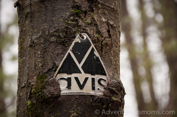
Trail Blaze: White Rectangles & AVIS Triangles
Difficulty: Easy[/box]
Knowing that the temperatures were going to be in the 50’s this weekend, I spent my entire week looking forward to this hike! Of course, then I got sick mid-week, followed by Addie coming down with strep-throat. I was worried that we’d have to forgo our trek in the woods. Thanks to a lot of rest, and the magic of antibiotics, both of us felt well enough this morning to meet up with our friends Sara and Kate for a jaunt in the Mary French and Hammond Reservations in Andover, MA.
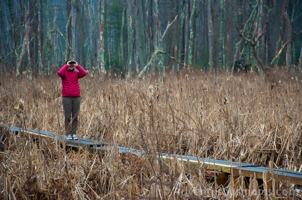
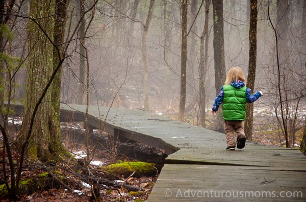
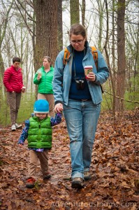 Initially I resisted this particular hike, as I like trying new trails, and we’d done this one recently. Yet Kendra really wanted to return to the Mary French Reservation to walk along the 1000 ft. boardwalk. We compromised by completing the boardwalk, and then taking the loop trail around the marshlands of the Hammond Reservation.
There was a light fog for the duration of our hike, and mist rising from the melting ice on the wetlands. When we first crossed into the Hammond Reservation, we heard the pecking of a woodpecker. After a little searching, we found a tiny bird hammering away at the base of a nearby tree. It was hard to see what kind, but it looked like a downy or hairy woodpecker. As we turned the corner, we saw several of the birds swooping through the trees.
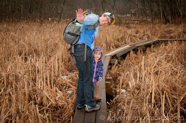
The walk around the Hammond Reservation wetlands was beautiful, and included several boardwalks. Addie was delighted to practice her balancing. Thanks to the Andover Village Improvement Society (AVIS) and the Andover Trails Committee, the trails and boardwalks are beautifully maintained.
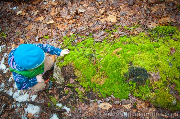
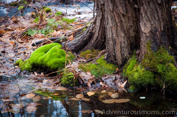
Because of the warmer weather, the majority of snow had melted away, making for a fast-moving Skug River, and damp trails covered in leaves. Despite this, Addie had very little trouble navigating the terrain and boardwalks. As she happily bounced along the trail, she stopped to pick up acorns, feel the texture of different types of moss, collect leaves, and eat snow (we put a stop to that quickly, explaining freshly fallen snow was preferable for eating). It was an awesome hike, and a great way to celebrate not being sick!
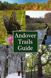 You can download a copy of the trail map here. However, even better, buy a copy of the Andover Trails Guide. It has great information and maps for local trails, reservations, and conservation lands in and around Andover, MA.
Available in local stores (I bought mine at ACE Hardware), copies of the guidebook can also be purchased by mail. Send a check for $14.95 plus $0.50 shipping & handling to:
Andover Trails Committee
c/o David Bunting
3 Wagon Wheel Road
Andover, MA 01810
Directions to the trailhead:
Mary French Reservation, 16 Korinthian Way, Andover, MA 01810
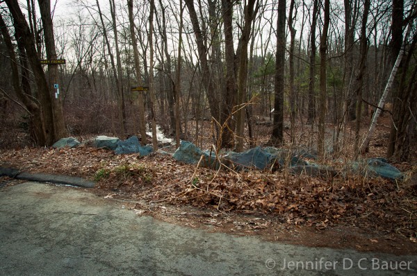
From I-93: Exit 41, take Rt. 125 North 4.5 mi. to traffic light. Take a right onto Salem Street which turns into Gray Road in .5 mi. Turn right onto Korinthian Way in .5mi. Trailhead is on the right.
From I-495: Exit 42A, take Rt. 114 East 1.9 mi. Turn right onto Rt. 125 South and follow for 2.1 mi. to traffic light. Take a left onto Salem Street which turns into Gray Road in .5 mi. Turn right onto Korinthian Way in .5mi. Trailhead is on the right.



Jen, I just knew there must be interesting hikes in your area. I am so thrilled you are discovering them and I hope you will take me there every time I visit from SC. I appreciate the directions, map suggestions so I could even find the trails myself…. and I love watching the “naturalization” of little Addie. She will grow up knowing how to value and care for our earth.