Hiking the Bay Circuit Trail, Andover, MA
[box style=”rounded” border=”full”] Location: Mary French, Hammond, & Skug River Reservations, Andover, MA
Date: December 26, 2012
Distance: 1.7 miles roundtrip
Elevation Gain: 177 feet
Our Hiking Time: 1 hour roundtrip
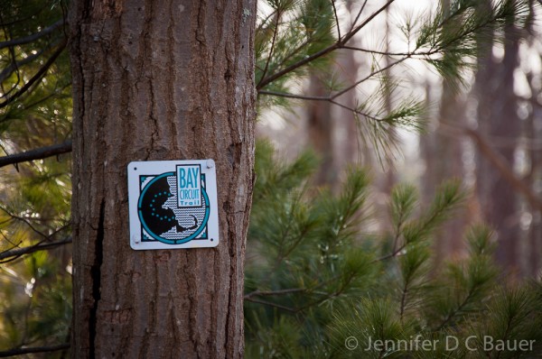
Trail Blaze: White Rectangles
Difficulty: Easy[/box]
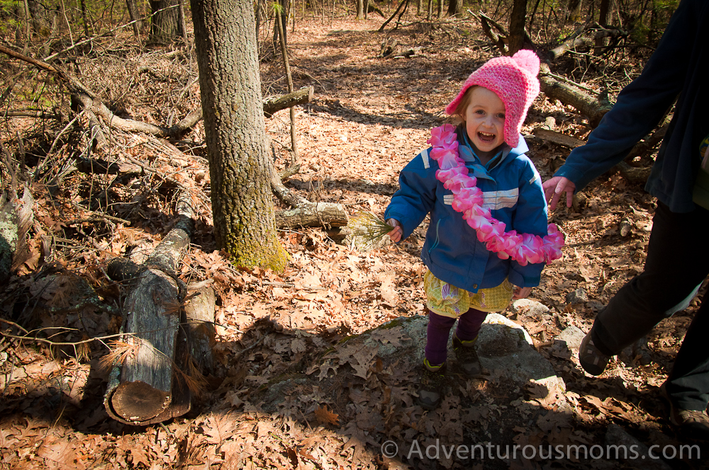
Kendra’s parents are up visiting from South Carolina, so we decided to take a Boxing Day hike! We brought along our friend Janet’s five year old daughter, Elizabeth, which thrilled Addie. She loves having a partner in crime when exploring nature.
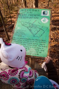
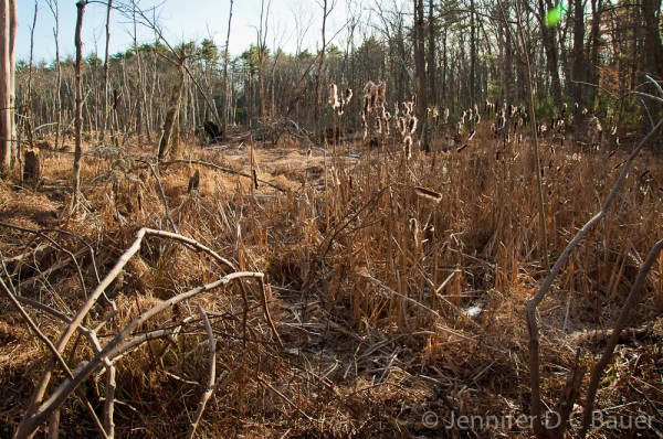
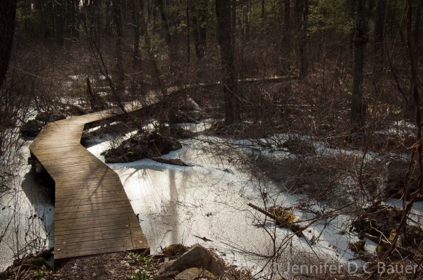
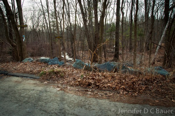
We began at the Mary French Reservation in Andover, MA, and followed the Bay Circuit Trail. (This trail, which is 90% complete, links 57 greater Boston communities from Plum Island and Ipswich to the Duxbury/Kingston shore, with 200 miles of trails through parks and open spaces.) With no designated parking lot at the Mary French Reservation trailhead, you just park alongside the road by the brown and yellow sign that marks the reservation. After a quick descent, there is a welcome map of the surrounding wetlands and reservation lands. Immediately after that begins a 1000 ft. boardwalk that winds its way through the tall cattails and marshlands. The girls loved practicing their balancing as they followed the trail.
The end of the boardwalk, which is marked by a beautiful wooden bench, leads directly into the Hammond Reservation.
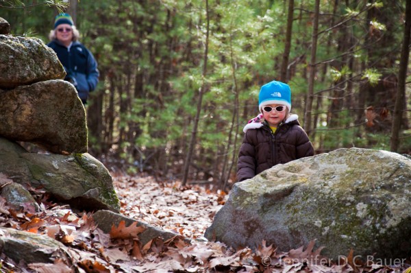
We skirted along the edge of the reservation, walking over a crumbling 19th century dam, and carefully hiking through wetlands that opened into a small grove of beautiful young pine trees. There are many stone walls that run through the land, which made great fun for the girls as they scrambled over the rocks.
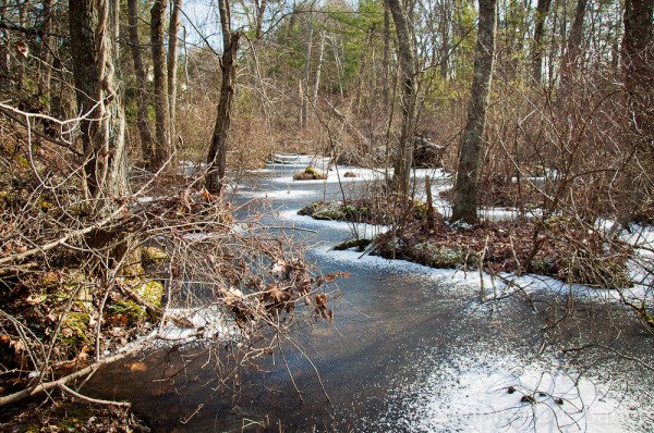
The trail exits the Hammond Reservation at Salem Street in Andover, and continues across the road at the Skug River Reservation. Taking its name from the Native American word for snake, the Skug River was once a power source for a grist mill and sawmill. We walked along the wooden bridge, the waters of the wetlands frozen beneath us, and hiked as far as the first stone wall. The girls climbed on the rocks while snacking on pretzels.
We retraced our path for the return trip. Though the way out had been rather uneventful, the trip back got more exciting when Elizabeth first learned how to pee in the woods, and then got distracted while walking on the boardwalk in the Mary French Reservation and toppled backward into the wetlands. Luckily it was a soft landing, and aside from her feet, she stayed dry. Her initial shock at falling in soon gave way to smiles as I pulled out some M&M’s Kendra had wisely thought to pack!
This was a great hike – easy terrain and beautiful scenery combined for a fun time for all. There are even longer hikes, including loops, that stretch through all three reservations. Click here to download a trail map.
Directions to the trailhead:
Mary French Reservation, 16 Korinthian Way, Andover, MA 01810
From I-93: Exit 41, take Rt. 125 North 4.5 mi. to traffic light. Take a right onto Salem Street which turns into Gray Road in .5 mi. Turn right onto Korinthian Way in .5mi. Trailhead is on the right.
From I-495: Exit 42A, take Rt. 114 East 1.9 mi. Turn right onto Rt. 125 South and follow for 2.1 mi. to traffic light. Take a left onto Salem Street which turns into Gray Road in .5 mi. Turn right onto Korinthian Way in .5mi. Trailhead is on the right.









Jen, you turn a hike into an art form.
JEN! These pictures are amazing. Can we join you the next time you venture out?
xoxo
You can ALWAYS come hiking with us!