Hiking the Imp Trail, White Mountains National Forest, NH
[box style=”rounded” border=”full”] Location: White Mountains National Forest, NH
Date: May 27, 2012
Distance: 6.6 miles roundtrip
Elevation Gain: 2,050 feet
Our Hiking Time: 5.25 hours roundtrip
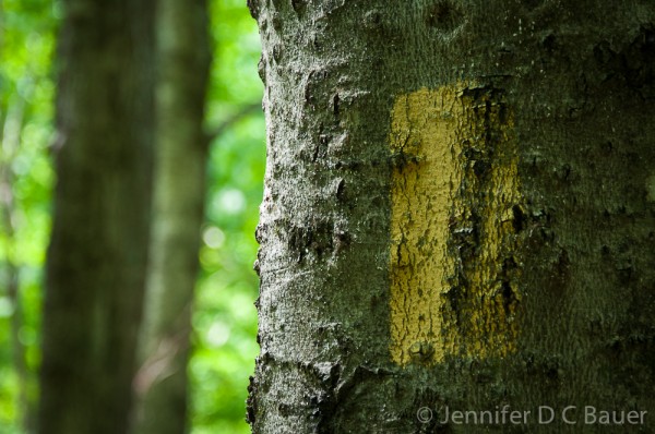
Trail Blaze: Yellow rectangle
Difficulty: Strenuous[/box]
 Though New Hampshire’s “Old Man of the Mountain” has crumbled, the “Imp Face” still perseveres! This hike leads to a cliff on North Carter Mountain that, from afar, looks much like the face of an impish creature.
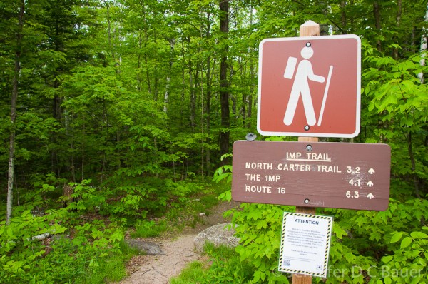
The Imp Trail is located across from the Dolly Copp Picnic area off of Rt. 16, close to Gorham, New Hampshire. There is no designated parking area, but there is plenty of room to pull off to the side of the road and park.
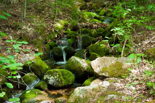
The Imp Trail is not quite a true loop – their are two separate trail heads that are about .3 miles apart on Rt. 16. Starting at the northern trail head, the path follows the Imp Brook, creating an incredible soundtrack for the first section of the hike. As you wind your way through the hemlocks, you can catch glimpses of the many small waterfalls created by the steep and rocky terrain.
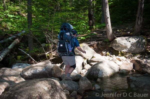
After .8 miles, the trail crosses the Imp Brook, and from here the climb becomes fairly steep and strenuous. Be prepared for small water crossings and lots of rocks on the trail.
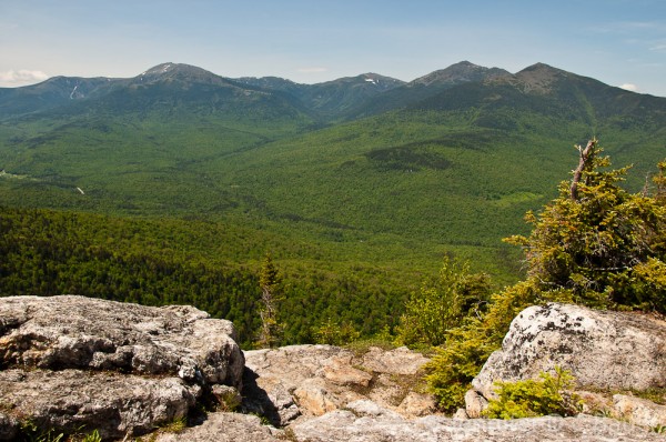
It took us just under two hours to climb the 2.2 miles to the Imp Face. On a clear day, like the one we experienced, the view of the presidential range is incredible.
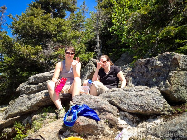
The cliff face is a great stopping point for lunch. We spent 40 minutes with our friends Sara and Kate refueling while enjoying the view and a light breeze. It was a well deserved rest for all, but Kate and me in particular, as we carried Addison up the trail.
As lovely as the view is, there is one thing to keep in mind – the Imp Face is a fairly small space, and by the time we left, it was rather crowded. If you’re looking for a peaceful, quiet meal, this is probably not the place for a long stop.
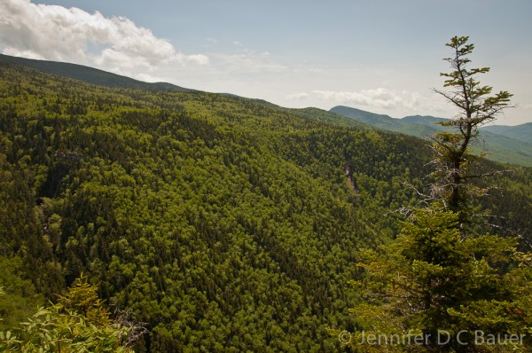
There is another viewpoint on the southern trail, not too far from the Imp Face. Though the view isn’t as good, there’s more space and solitude.
The hike down along the southern section of the trail actually begins with an ascent, but quickly tapers off to an easy, flat walk before descending to the second viewpoint.
Just .9 miles from the Imp Face, the trail intersects with the North Carter Trail. From there, the trail is a gradual descent, though littered with rocks and stream crossings that make it difficult at times.
It took us just under 2.5 hours to reach the southern trailhead. It was a beautiful hike – the gorgeous weather was a bonus. However, we did encounter a lot of bugs due to the recent rain. Definitely make sure to have bug spray on hand if you’re hiking this trail in the spring!
Directions to the trailhead:
Trailhead is accessed seasonally from near the 7-mile mark (across from the Dolly Copp Picnic Area) on Route 16, the Mt. Washington Auto Rd. (the road is only open to vehicle traffic when it is snow-free).







1 Response
[…] often hike the Imp Trail, a moderate-to-strenuous 6.6 mile loop that follows the Imp Brook up North Cater Mountain to the […]