Hiking at Lowell-Dracut-Tyngsborogh State Forest, Lowell, MA
[box style=”rounded” border=”full”] Location: Lowell-Dracut-Tyngsborogh State Forest, Lowell, MA
Date: March 20, 2014
Distance: 1.28 miles roundtrip
Elevation Gain: 193 feet
Our Hiking Time: 1 hour, 3 minutes round trip
Trail Blaze: Blue and Silver circles with hiker logo
Difficulty: Easy
Trail Map[/box]
Thursday was a very welcome first day of spring. As much as we’ve enjoyed the extended snowshoeing season, we’re excited to return to hiking in t-shirts and shorts! Addie and I celebrated the beautiful 50 degree weather by going on a hike with our friend Jenn and her daughter Abby. Addie adores Abby – she told me in secret that she loves her as much as she loves her own babies.
 We headed to the Lowell-Dracut-Tyngsboro State Forest, where we’d snowshoed a month ago. Even though I grew up in Lowell, as an urban kid I didn’t even know about the state forest until I was in my 30’s. My first visit was during a snowshoeing excursion with the outdoor club I run at school. Even though I no longer live in Lowell, I am finding the forest to be a great local resource for outdoor adventures, both for my students and my family.
Sprawling 1,140 acres over what was once a Native American village, the Lowell-Dracut-Tyngsborogh State Forest has six miles of trails that wind through swamplands and ponds. Though several paved roads wind through the forest, they are not open to traffic. Last time we visited, we explored the Dracut side, so this time we parked at the main entrance in Lowell.
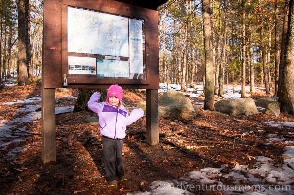
After making a quick stop at the kiosk to check out the map, we followed the “Heart Healthy” loop, starting clockwise. Because of the fluctuating temperatures, the trail was covered in slowly melting ice. Addie was very excited to be our “line leader” (pre-k definitely agrees with her), and to use the map to find our way. She ran ahead of us, finding small bits of exposed moss to feel and things to climb. I love watching her explore – she’s quite the curious kid.
I tend to be a relaxed mom – letting Addie be “free-range,” but I did have a moment of panic after she’d raced ahead around a bend. Her being out of sight didn’t bother me, but when she didn’t respond to our calls, I felt my heart beating faster. Of course, she thought she was being funny. It was a good learning moment for both of us.
In addition to three small footbridges (always a delight for little hikers!), we came upon some long logs that had been cut flat on the top, almost like balance beams. We all had fun balancing on them as we hiked – and were all excited when we got to the last one and discovered that someone turned it into see-saw, allowing the board to move as you walked downhill.
Needless to say, we spent quite some time on this section of the trail. About halfway through the Heart Healthy loop, as it crossed over Trotting Park Road, we opted to take a right and head back to the parking lot down the road. I had promised to take Addie to work with me that night (my students were filming the talent show), and we were running into a time crunch. Though I was bummed we didn’t get to finish the loop, it just gives us an excuse to come back again.
Directions to the trailhead:
There is a small parking lot in front of the gate leading into the state forest. Because there are several ways to get there, it’s easiest to plug in the GPS coordinates (42.656365, -71.370777).
From Rt. 3: Take exit 32. Go right at the end of ramp, onto Drum Hill Rd. go 5 sets of lights you will cross over the Rourk Bridge. Go left at the lights on the other side of the bridge. Go 500 yards then take a right at lights onto Old Ferry Rd. Take a left onto Varnum Ave. After ½ mile, go right onto Trotting Park Rd. Parking lot is at the gate.

