Hiking: Getting Lost in Pawtuckaway State Park, NH
[box style=”rounded” border=”full”] Location: Pawtuckaway State Park, Nottingham, NH
Date: November 10, 2013
Distance: 4.91 miles roundtrip
Elevation Gain: 330 feet
Our Hiking Time: 3 hours, 15 minutes round trip
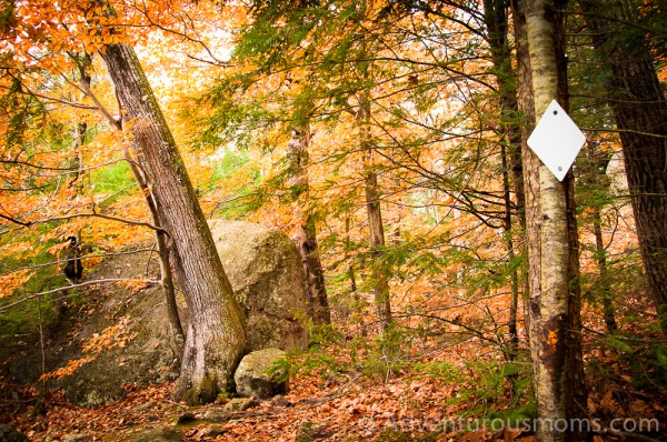
Trail Blaze: White Diamonds (Round Pond Trail), White Rectangles (South Ridge Trail)
Difficulty: Easy/Moderate
Trail Map[/box]
As more and more faculty members (and their kids) join the Outdoor Adventures Club on our excursions, I have been trying to find hikes that balance ease with high reward. With an age range of kids 3 months to 18 years old, this is not an easy task. I want the high school members of the club to feel challenged, while at the same time make sure that the little ones have fun.
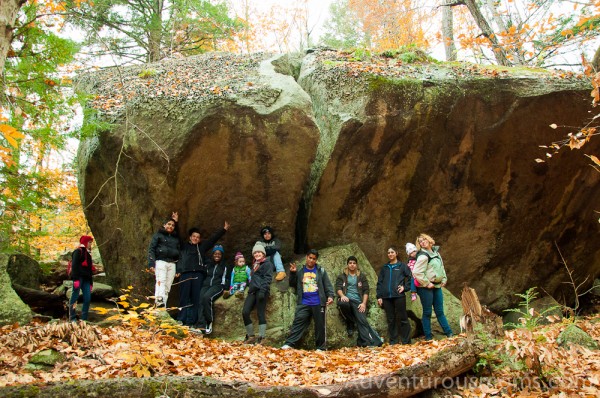
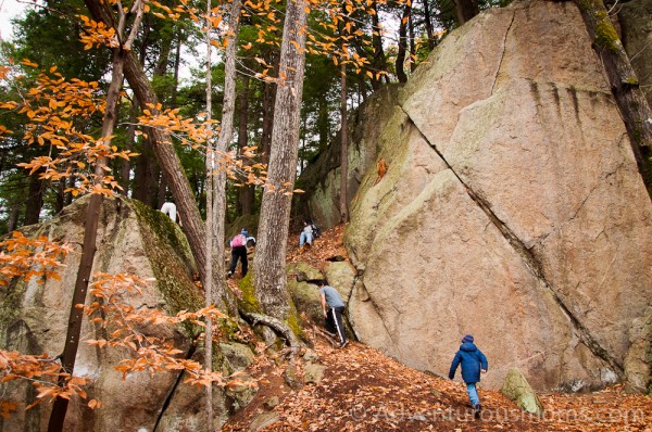
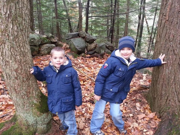
I picked Pawtuckaway State Park because of the minimal elevation gain combined with a mountain summit that has both a view and a firetower. However, there was an added bonus of which I was unaware – massive boulders. These were a hit with all the kids. They climbed on them, posed for pictures, and stood in awe. It was awesome.
We chose to park in the very small lot at the end of Round Pond Road in Nottingham, NH, on the east side of this 5,000 acre state park. Our plan was to follow the Round Pond Trail to the South Ridge Trail up to the summit of South Mountain. However, with .8 miles to go, we managed to take a wrong turn onto the South Ridge Trail extension and ended up on Tower Road. This is what happens when you leave the paper copies of the trail map at home, and rely on your iPhone which then runs out of batteries. Granted, in my defense the sign at the fork was unclear, and seemed to indicate a right turn. Additionally, the trail blazes didn’t change, so it seemed reasonable to believe we were on the correct path. Still, no excuses – I got us lost.
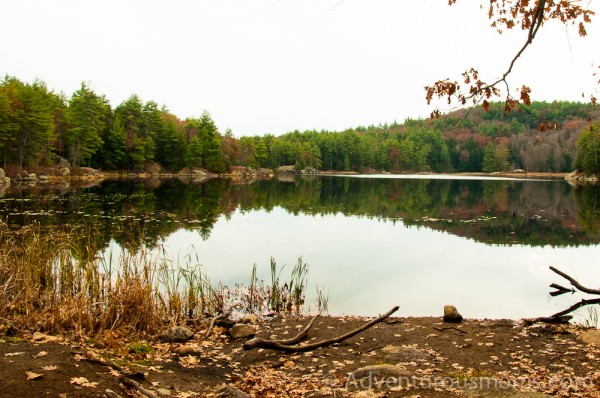
As Kenny Rogers sang, “You got to know when to hold ’em, know when to fold ’em, Know when to walk away and know when to run.” Such was the case with this hike. When we realized we’d taken a wrong turn, the group decided the best course of action was to plop down and eat lunch. While enjoying our food, we explored a small pond and discovered a huge beaver dam.

(Left to right) My friend/co-worker Gretchen, her son Tyler, niece Marguerite, fiancée Yadira, and daughter Ava, enjoying lunch.
Luck was in our favor as a local hiker happened upon us, and he was carrying a map of the park. We were able to pinpoint our precise location, as well as plot a return route. Though the kids were bummed to not reach the summit of South Mountain, backtracking would have added over .5 miles to our already long hike. (Not too long for the teens, but most certainly pushing the envelope for the 7 and under kids.
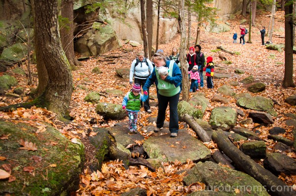
 The hike back was as beautiful as the hike in – we followed Tower Road to its intersection with Round Pond Road, which we followed until it forked. From their, we followed the Round Pond Trail back to the parking lot. When the little ones got tired legs, the teens stepped in to help them navigate the trail and keep up their spirits. It was heartwarming to watch.
Though we didn’t complete the hike we’d planned, I hope the kids took away a few important lessons:
- Always bring a copy of the map.
- Don’t panic if you get lost.
- Assess the needs of the group when making a decision.
- Be flexible.
- Don’t put yourself or others in danger trying to reach your intended destination. The journey is the reward.
This was an easy hike for the older crowd, and a bit too long for the younger kids. We had some challenging moments, but overall we had a great time. I expect we will return to Pawtuckaway State Park on a future excursion – with so many available activities (camping, hiking, canoeing, swimming, etc.), it is a great destination for families and outdoor clubs alike.
Directions to the trailhead:
Though there are many entrances to Pawtuckaway State Park, we chose to use the parking area at the end of Round Pond Road. (GPS Coordinates: 43.131057,-71.165417)
From Route 101E or W: Take exit 5 to 107N/156N. In 1.2 miles, turn left and continue on 107N/156N/27W. In .1 mi. take a right onto 156N/Nottingham Road. Turn left onto Deerfield Road in 5.4 miles. In 3.2 miles, turn left onto Round Pond Road.
From Route 202W: Follow to 43S/Mountain Avenue. After 5.8 miles turn left onto 107S/43S/North Road. Take the next left onto Parade Road. In .8 mi, continue onto Nottingham Road, then in 3.1 mi. continue onto Deerfield Road. In .3 mi, take a right onto Round Pond Road.







Lovely to have you in the neighborhood! We were just hiking our beloved Pawtuckaway the other day, and while we didn’t get lost, we did fail to reach the fire tower as well. We were low on snacks and my four year old was weary. Know when to fold ’em is right–we turned back less than a quarter mile from the summit. Ah well, always next time!
Enjoying reading your blog!
I would suggest you wear hunter orange caps or something orange like a vest. Many hikers get lost going to round pond from Pawtuckaway. I have directed more than a few back to the trails. It is hunting season , so be very careful.