Hiking at Peggy Keck Reservation, Andover, MA
This little gem of a reservation is literally in the shadow of the more popular Harold Parker State Forest. In an effort to hike through all the conservation lands listed in the Andover Trails Guide, my mother-in-law, Jane, and I took Addie to the Peggy Keck Reservation last Thursday. We liked it so much, we returned on Addison’s birthday three days later.
[box style=”rounded” border=”full”] Location: Peggy Keck Reservation, Andover, MA
Date: July 11, 2013
Distance: 1.15 miles roundtrip
Elevation Gain: 151 feet
Our Hiking Time: 40 minutes roundtrip
Trail Blaze: White Rectangles
Difficulty: Easy
[/box]
We started our hike just before dusk, and opted to walk straight from the gate at the parking lot to the gate at the end of the trail, stopping along the way to inspect many, many mushrooms.The vegetation was incredible – ferns blanketed the ground on either side of us. When we reached the second gate, we took a left, and then almost immediately right at a fork in the trail.
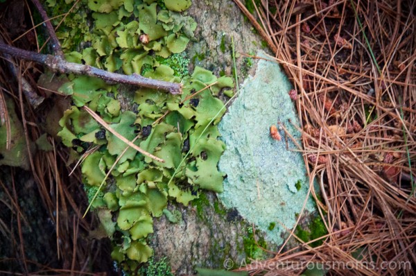
We wound through some steep, rocky slopes, as well as several rock walls – all of which Addie navigated on her own. The rocks in this reservation are purported to be some of the oldest in the world. Many of the rocks were covered in feathery lichen.
Since the sun was quickly setting, we made the choice to stick to a shorter loop through the reservation. As we came toward the end of the hike, we came upon a wooden bridge stretching across a small stream. Addie LOVES running over bridges when we hike, and wasted no time doing so.
There were several intersections on the trail that were somewhat confusing because I had left my map in the car. Because the trail blazes are few and faded on this particular loop, I’d strongly suggest taking a copy of the trail map with you.
[box] Location: Peggy Keck Reservation, Andover, MA
Date: July 14, 2013
Distance: 1.65 miles roundtrip
Elevation Gain: 168 feet
Our Hiking Time: 1 hour 22 minutes roundtrip
Trail Blaze: White Rectangles
Difficulty: Easy
[/box]
A few days later, when Addie requested a birthday hike, we decided to return to the Keck Reservation to explore more of the land during the daylight hours. This time, we took the first right off of the main trail that cuts through the reservation, and not long after, veered right at a fork in the trail. In addition to mushrooms, we found quite a bit of blooming Indian Pipe alongside the trail.
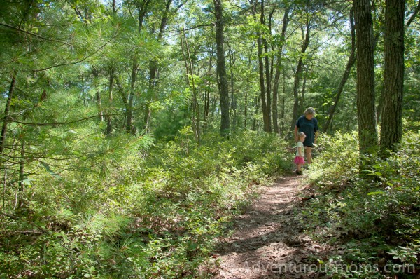
The trail climbed slowly through beautiful oaks and pine trees – an odd juxtaposition with the rumble of traffic speeding down route 125 that runs parallel to the trail. However, as soon as the trail turned left and wove deeper into the reservation, the sound of the cars faded away.
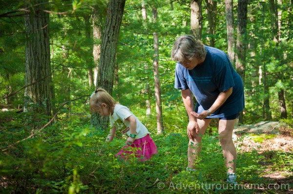
 As we ambled along the trail, our footsteps padded by the blanket of pine needles beneath our feet, we came upon wild blueberry bushes blanketing the land as far as we could see. Unlike me, Jane is a nature expert and quickly picked a few berries for us to eat. I’ll admit – I was skeptical. Urban kids generally don’t eat things they find outside, especially not off of plants – it’s an instinct I have found hard to suppress. I stuffed away my fears, and stuffed a blueberry into my mouth. Relieved to find that it wasn’t poisonous, I helped myself to more.
Addie had a very different response – she quickly figured out how to identify the ripe berries and proceeded to spend the next 30 minutes of our hike scouring the bushes for more. She must have eaten a pint in the process!
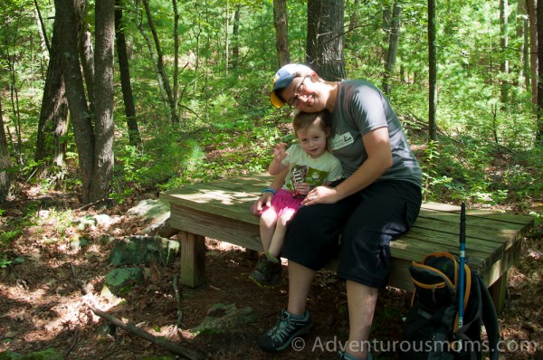
The trail ended in a “T,” at which point we turned left. After spending even more time picking berries, we came across a roomy wooden bench installed by the Andover Village Improvement Society (A.V.I.S.). We took this discovery as a sign to eat snacks. I gave Addie M&M’s – her trail food of choice. I reserve them for times I think she needs a little motivation or incentive.
Soon after we passed the bench, the trail descended down the steep granite cliff we’d been circling. Addie decided to attempt the descent on her own, and only fell on her bum once. She was quite pleased with herself. The trail brought us back to the fork at the beginning of our hike, and we retraced our steps back to the parking lot.
This loop was much easier to navigate than the first one, as the trail was clearly marked, but also much steeper in many areas.
You can download a copy of the trail map here. However, even better, buy a copy of the Andover Trails Guide. It has great information and maps for local trails, reservations, and conservation lands in and around Andover, MA.
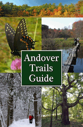
Available in local stores (I bought mine at ACE Hardware), copies of the guidebook can also be purchased by mail. Send a check for $14.95 plus $0.50 shipping & handling to:
Andover Trails Committee
c/o David Bunting
3 Wagon Wheel Road
Andover, MA 01810
Directions to the trailhead:
There are two entrances to the reservation, but we opted to use the one off of Route 125, as there is a parking lot.
From I-93: Take exit 41, follow 125 north (toward Andover), for about 4 miles to the State Police Barracks (on right). Turn left onto Gould Rd. The parking lot is immediately on your right.
From 495N: Take exit 42A, travel east on Rt. 114 for 2 miles. Take a right onto Rt. 125. Drive 3.8 miles to the State Police Barracks (on left). Turn right onto Gould Rd. The parking lot is immediately on your right.


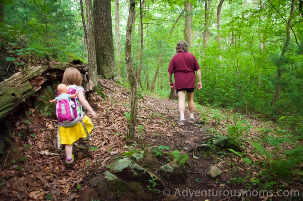


Jen is a fabulous tour guide on the trail. What a joy to find ripe huckleberries on the trail to pick and eat with a great three year old trail blazer.